In modern drone imaging applications, precision is essential. Geometric calibration plays a key role in enabling camera systems to accurately interpret the environment by transforming 2D images into reliable 3D spatial information. These capabilities are fundamental for applications such as mapping, surveying, infrastructure inspection, and autonomous flight operations.
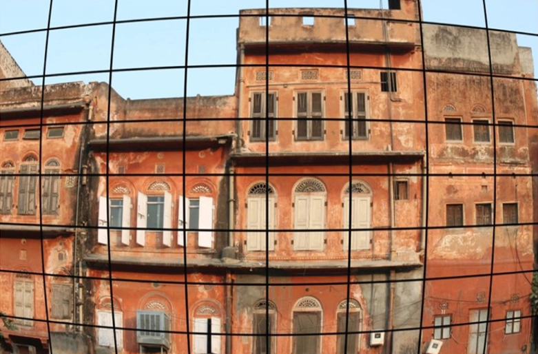
At its core, geometric calibration ensures that drone cameras can correctly measure distances, reconstruct spatial relationships, and compensate for lens distortion – particularly in wide-angle and lightweight aerial camera systems. Whether generating accurate 3D models of construction sites, measuring terrain elevations in large-scale surveying, or maintaining spatial accuracy during autonomous navigation and object tracking, properly calibrated systems are critical for both reliability and performance.
However, traditional calibration methods such as test charts or relay lens setups have limitations, especially when dealing with large fields of view, long working distances, or calibration at infinity – conditions that are common in drone-based imaging. These challenges are particularly relevant in aerial applications, where flexibility, portability, and efficiency are key requirements.
This is where Image Engineering demonstrates its expertise. With advanced solutions such as GEOCAL technology, we take geometric calibration to the next level. By combining beam-expanded laser systems with diffractive optical elements, IE enables precise, flexible, and compact calibration setups, eliminating the need for bulky charts or relay lenses. The result is a highly efficient calibration process that is ideally suited to the demands of drone imaging systems.
Thanks to its deep domain knowledge and innovative technologies, Image Engineering is a trusted partner in delivering next-generation calibration solutions for more accurate, reliable, and efficient drone-based imaging applications.